
 English


Varukorg
Din varukorg är tom, men det behöver den inte vara.
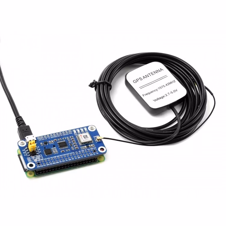
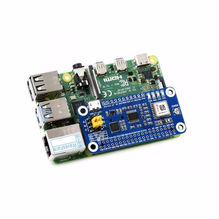
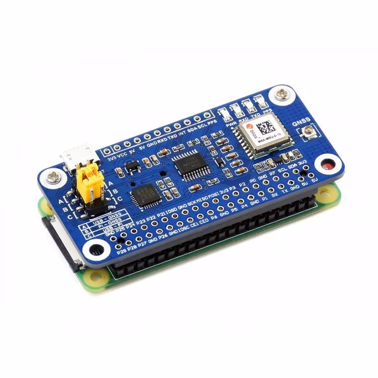
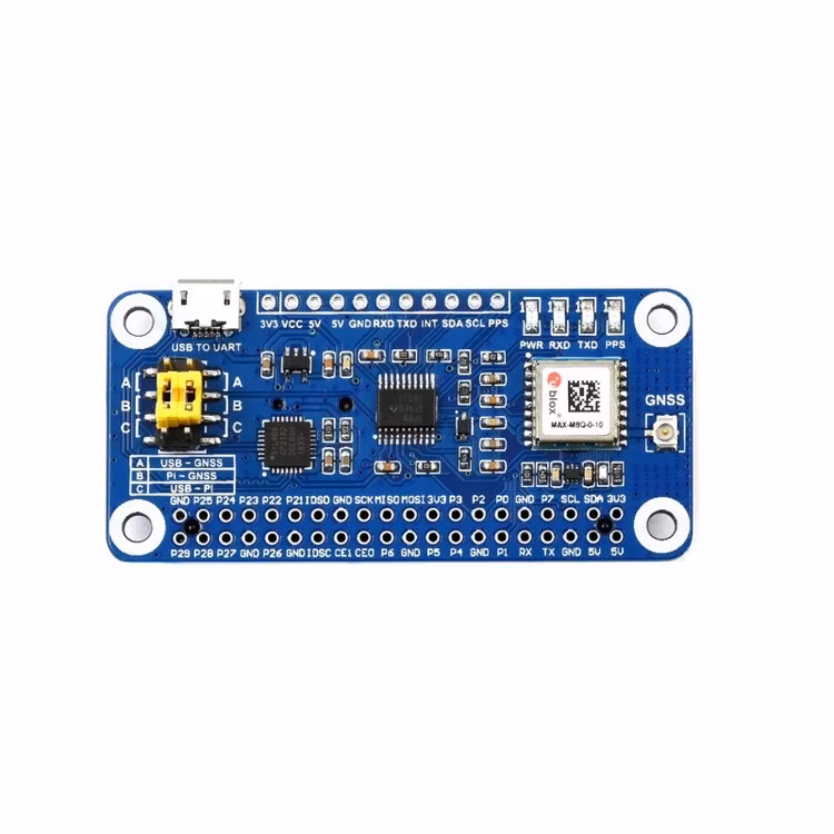
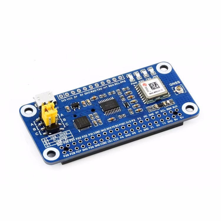
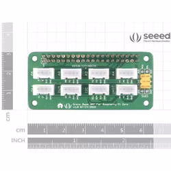
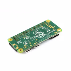
MAX-M8Q GNSS HAT For Raspberry Pi, Multi-Constellation Receiver Support
MAX-M8Q GNSS HAT
GNSS Module Based On MAX-M8Q For Raspberry Pi
Accurate & Fast Positioning With Minor Drifting, Low Power Consumption, Outstanding Ability For Anti-Spoofing & Anti-Jamming
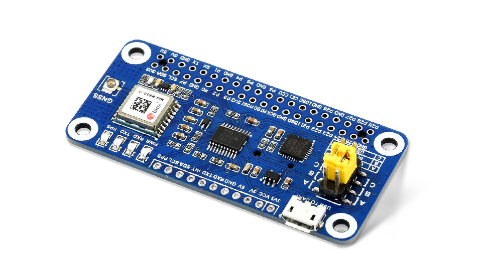
This is a Raspberry Pi GNSS HAT based on MAX-M8Q with multi-constellation receiver support, which means up to 3 types of GNSS satellite systems can be used together, including GPS, Beidou, Galileo, and GLONASS. It also support augment systems like SBAS, QZSS, IMES, and D-GPS. It features accurate & fast positioning with minor drifting, low power consumption, outstanding ability for anti-spoofing & anti-jamming, and so on.
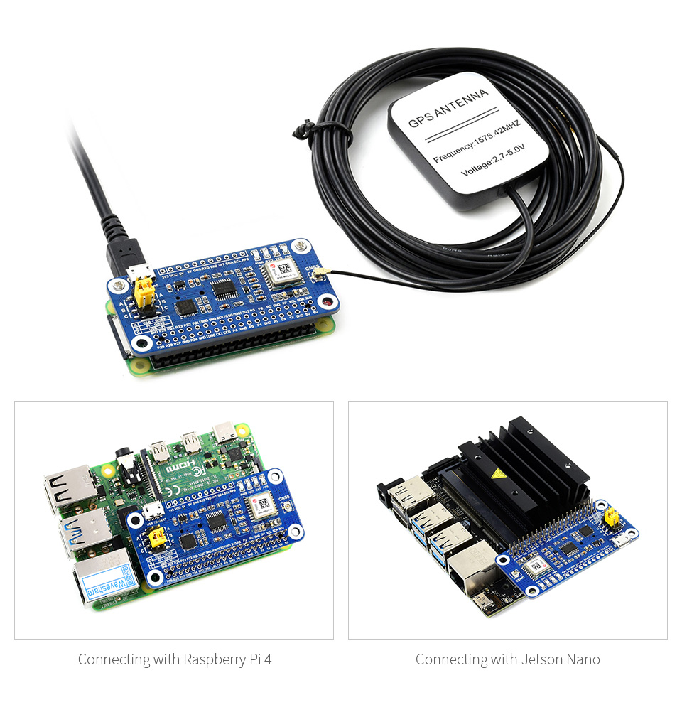
By simply attaching it onto the Pi, it is fairly easy to enable GNSS capability for your Raspberry Pi.
Features At A Glance
Specifications
| OTHER SPECIFICATIONS | ||||||
|---|---|---|---|---|---|---|
| GNSS SPECIFICATIONS | ||||||
| MAX-M8Q | GPS & GLONASS | GPS | GLONASS | BeiDou | Galileo | |
| Frequency band | 72x u-blox M8 engine channels GPS L1C/A, SBAS L1C/A, QZSS L1C/A, QZSS L1 SAIF, GLONASS L1OF, BeiDou B1I, Galileo E1B/C | |||||
| Horizontal positioning accuracy | 2.5m CEP | 2.5m CEP | 4.0m CEP | 3.0m CEP | - | |
| Max navigation update rate | 10Hz | 18Hz | 18Hz | 18Hz | 18Hz | |
| Time-To-First-Fix | Cold starts | 26s | 29s | 30s | 34s | 45s |
| Hot starts | 1s | 1s | 1s | 1s | 1s | |
| Aided starts | 2s | 2s | 2s | 3s | 7s | |
| Sensitivity | Tracking and navigating | -167 dBm | -166 dBm | -166 dBm | -160 dBm | -159 dBm |
| Re-acquisition | -160 dBm | -160 dBm | -156 dBm | -157 dBm | -153 dBm | |
| Cold starts | -148 dBm | -148 dBm | -145 dBm | -143 dBm | -138 dBm | |
| Hot starts | -157 dBm | -157 dBm | -156 dBm | -155 dBm | -151 dBm | |
| PPS accuracy | RMS | 30ns | 30ns | 30ns | 30ns | 30ns |
| 99% | 60ns | 60ns | 60ns | 60ns | 60ns | |
| PPS frequency | 0.25Hz…10MHz (configurable) | |||||
| Velocity accuracy | 0.05m/s | |||||
| Heading accuracy | 0.3 degree | |||||
| Operational limits | Acceleration (max): 4g | |||||
| Altitude (max): 50000m | ||||||
| Velocity (max): 500m/s | ||||||
| Communication interface | UART (4800~921600bps, 9600bps by default), I2C (max 400KHz) | |||||
| Update rate | 1Hz (default), 18Hz (max) | |||||
| Protocol | NMEA 0183 Version 4.0 (V2.1, V2.3 or V4.1 selectable), UBX, RTCM 2.3 | |||||
| Power supply | 5V | |||||
| Overall current | <40mA@5V (Continue mode) | |||||
| Module current | 23mA@3V (Continue mode, tracking status) | |||||
| Operating temperature | -40℃ ~ 85℃ | |||||
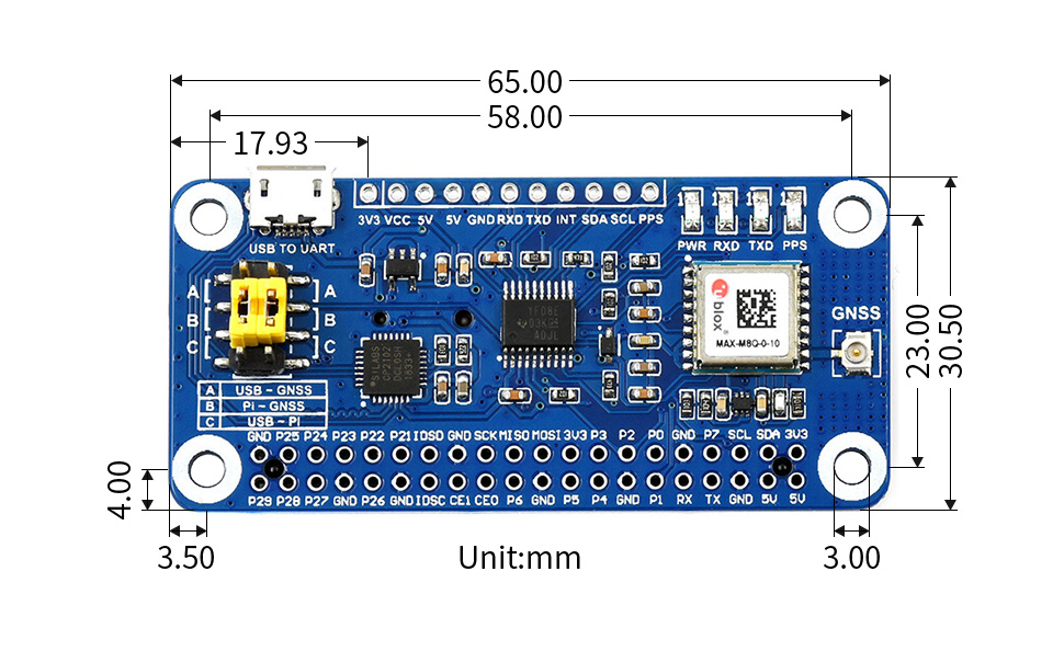
| Dimensions | 65mm × 30.5mm | |||||
Standard Raspberry Pi 40PIN GPIO
Compatible With Raspberry Pi Series Boards, Jetson Nano
Multi-Constellation Receiver Support
Concurrent Reception Of Up To 3 Types Of GNSS Satellite Systems, And Still Retains Low Power Consumption
Supports GPS, Beidou, Galileo, And GLONASS

Augment Systems Support
Augment System Is Aimed At Improving The Accuracy, Completeness, Reliability, And Availability Of Positioning And Navigation
Supports Augment Systems Including SBAS, QZSS, IMES, D-GPS

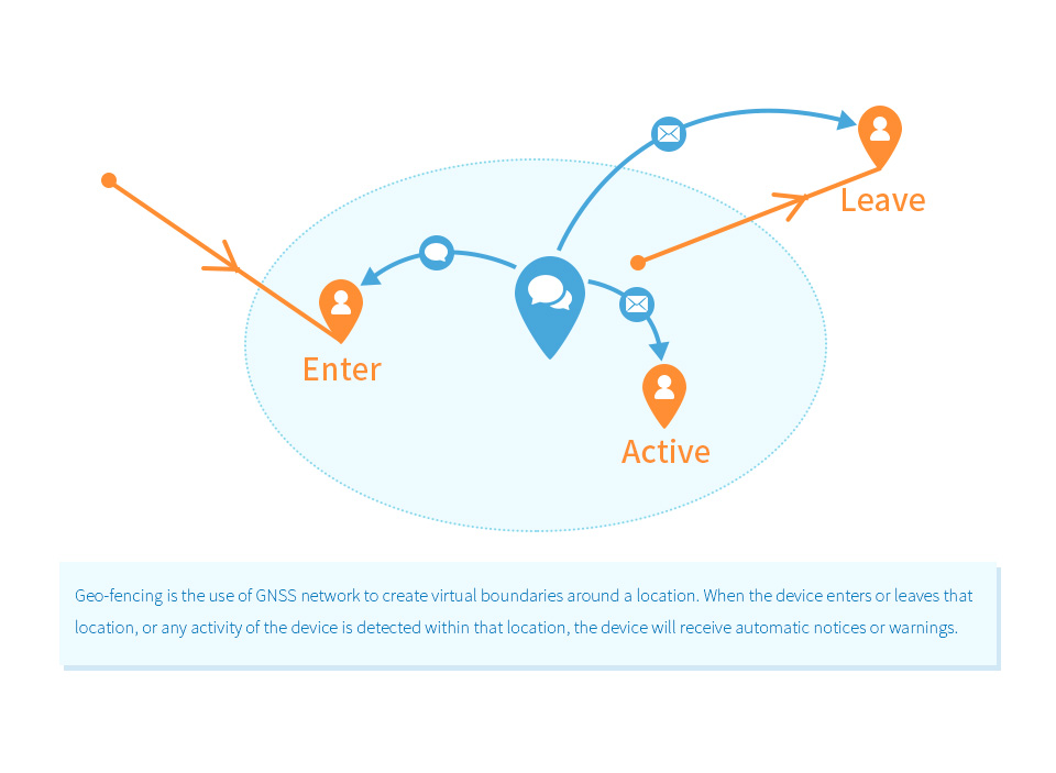
Geo-Fencing Support
Features -167dBm Navigating Sensitivity, Outstanding Ability For Anti-Spoofing & Anti-Jamming
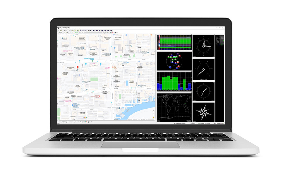
Software U-Center Support
An Easy Way To Config The Module
Applications
Ideal For Fleet Management, Asset Tracking, Security Systems, Industrial PDA, GIS App, Etc.

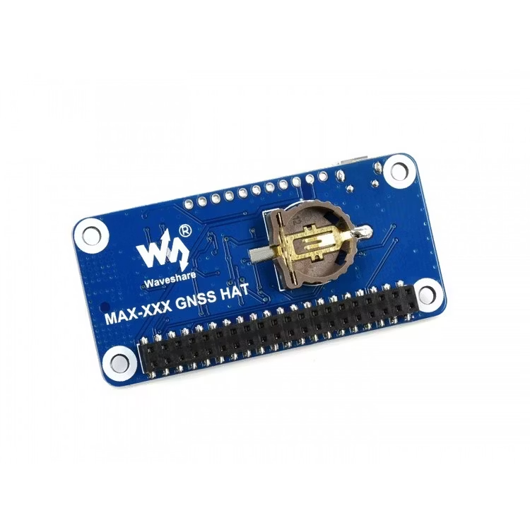
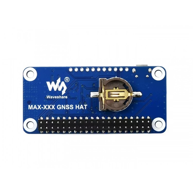
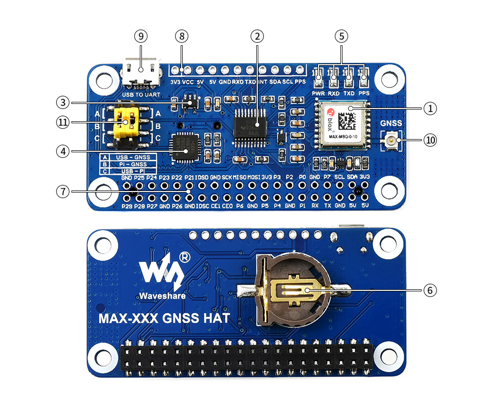
What's On Board
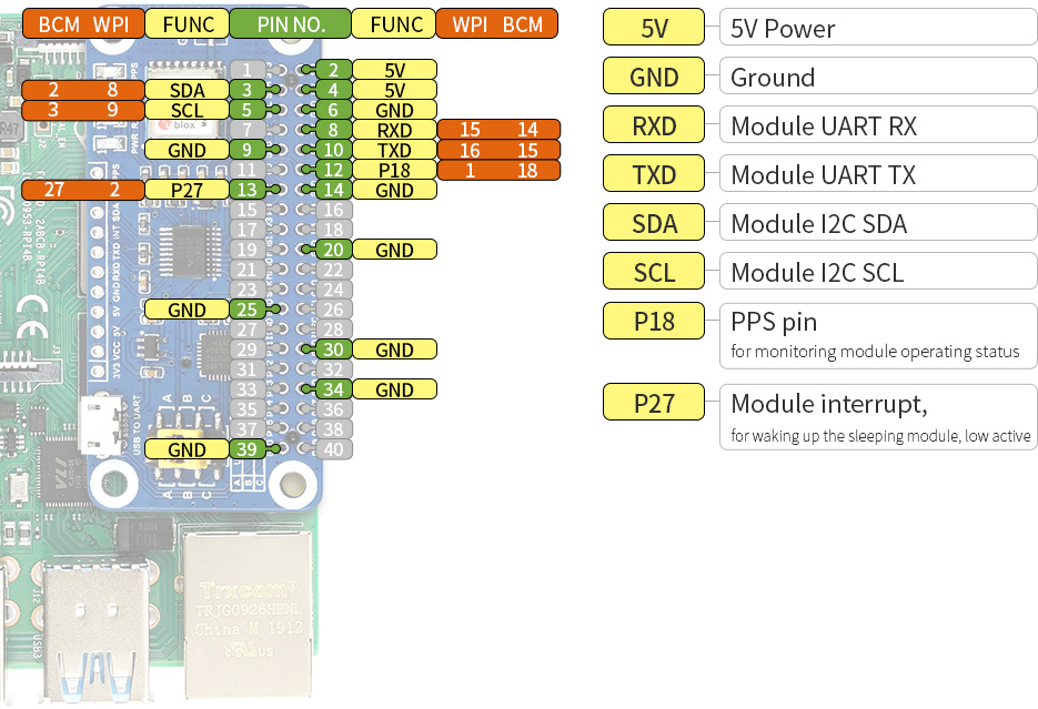
Pinout Definition
Outline Dimensions
Resources & Services


WIKI: www.waveshare.com/wiki/MAX-M8Q_GNSS_HAT
* Resources for different product may vary, please check the wiki page to confirm the actually provided resources.
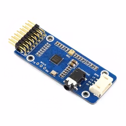
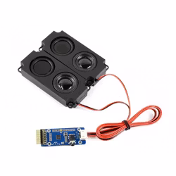
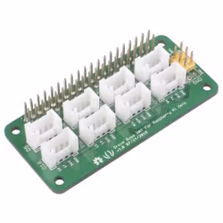
Shipping list
Weight: 0.132 kg
1
2
3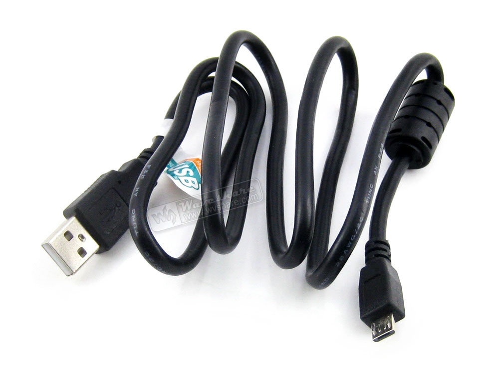
4
5


Din varukorg är tom, men det behöver den inte vara.